Maritime
The time to use remote unmanned systems for maritime inspections has arrived. Unfortunately, the marine sector is one of the most challenging and dangerous environments to work in. Surveyors, crew, and regulatory inspectors who have crawled tanks, confined spaces, and climbed flare booms know the risks needed for proper condition assessments. However, manual surveys are often subjective and result in overwhelming reports lacking digestibility and are difficult to share amongst teams and stakeholders.
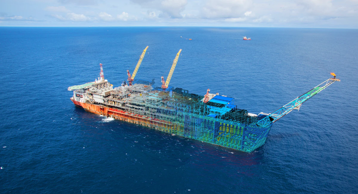
Over the past few years, flag states, classification societies, and the International Maritime Organization (IMO) have introduced the use of Remote Inspection Technologies (RITs) to augment inspections. Technologies and techniques are maturing more and more through each use case. RITs have demonstrated significant reductions to the risk of human life and costs and increased efficiencies. Confined spaces and working aloft in hazardous tanks can now be replicated with extraordinary accuracy and objective data collection through unmanned systems. Operators find that the ability to rapidly diagnose and resolve issues while at sea or in port is priceless.
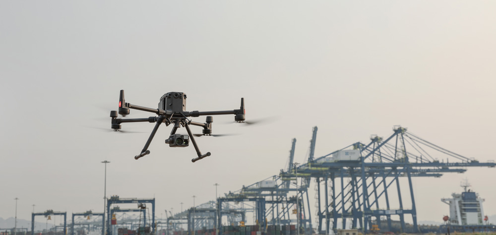
For example, unmanned aerial systems (UAS), or drones, provide quick and efficient inspections from the air for high altitude facility surveying and close-proximity internal or external vertical inspections. UAS applications remove the need for expensive and timely scaffolding. UAS offers significant improvements with advanced sensors, precise, accurate, and replicable flights. In addition, sense and avoid technologies prevent UAVs from contacting structures from high gusts or pilot error. All while delivering high-resolution imagery, video, thermal, and LiDAR, plus developing 3D digital twins for objective evidence and advanced analytics.
To enhance visual reports and finite element analysis, Digital Twins of physical assets are becoming more prominent. Digital twins are virtual replicas that serve as real-time digital counterparts of physical objects. Developed by NASA to improve the physical model simulation of spacecraft, the implications for maritime facilities are still being realized.

Class
- Confined Space Entry
- Condition Assessment (Preliminary & Known)
- Damage Assessment for Rapid Response
- Close Visual Inspection (CVI)
- General Visual Inspection (CVI)
- Survey After Construction (Steel Vessel Rules / Mobile Offshore Units) –
- Annual
- Intermediate
- Special
- Drydocking
- Enhanced Survey Plan (ESP)
Owner Self-Inspection
- Condition Assessment (Preliminary & Known)
- Survey & Drydock Preparation
- Asset Management / Maintenance Programs
- Emergency Response


